Antermony Loch and the Campsie Fells
Introduction
The photograph on this page of Antermony Loch and the Campsie Fells by Stephen Sweeney as part of the Geograph project.
The Geograph project started in 2005 with the aim of publishing, organising and preserving representative images for every square kilometre of Great Britain, Ireland and the Isle of Man.

There are currently over 7.5m images from over 14,400 individuals and you can help contribute to the project by visiting https://www.geograph.org.uk
Antermony Loch and the Campsie Fells
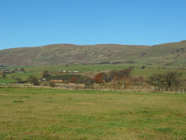
Image: © Stephen Sweeney Taken: 10 Nov 2010
The loch is quite disguised in this image, but can be made out in the centre if you look closely!
Images are licensed for reuse under creativecommons.org/licenses/by-sa/2.0
Image Location
Latitude
55.964046
Longitude
-4.136076