Jaywick Beach
Introduction
The photograph on this page of Jaywick Beach by terry joyce as part of the Geograph project.
The Geograph project started in 2005 with the aim of publishing, organising and preserving representative images for every square kilometre of Great Britain, Ireland and the Isle of Man.

There are currently over 7.5m images from over 14,400 individuals and you can help contribute to the project by visiting https://www.geograph.org.uk
Jaywick Beach
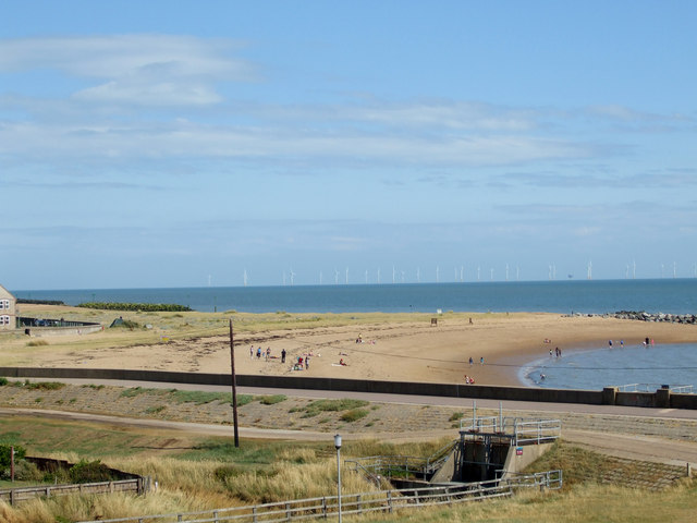
Image: © terry joyce Taken: 7 Aug 2010
Part of the beach at Jaywick taken from the Martello Tower. Gunfleet Sands Wind Turbines in the background.
Images are licensed for reuse under creativecommons.org/licenses/by-sa/2.0
Image Location
Latitude
51.771771
Longitude
1.098885