Bromley High Street
Introduction
The photograph on this page of Bromley High Street by Malc McDonald as part of the Geograph project.
The Geograph project started in 2005 with the aim of publishing, organising and preserving representative images for every square kilometre of Great Britain, Ireland and the Isle of Man.

There are currently over 7.5m images from over 14,400 individuals and you can help contribute to the project by visiting https://www.geograph.org.uk
Bromley High Street
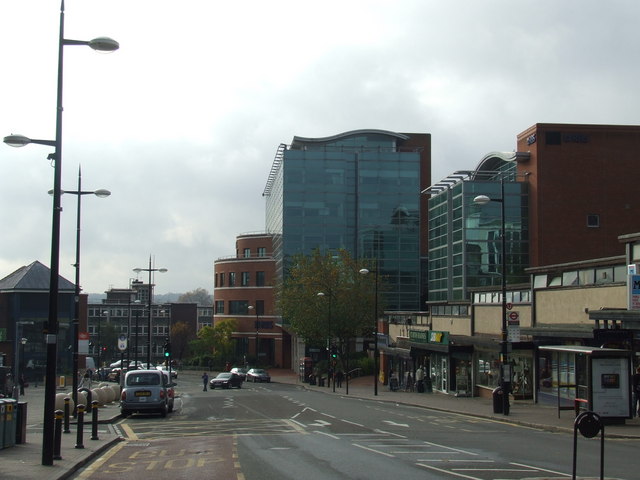
Image: © Malc McDonald Taken: 6 Nov 2010
Bromley High Street, looking south. Bromley South station is just out of view to the left. The High Street was once the main road through the centre of Bromley, but through traffic has now been diverted along a new road (Kentish Way) which passes to the east of the town centre.
Images are licensed for reuse under creativecommons.org/licenses/by-sa/2.0
Image Location
Latitude
51.400049
Longitude
0.017204