New Kingsland United Reformed Church, Bristol
Introduction
The photograph on this page of New Kingsland United Reformed Church, Bristol by Jaggery as part of the Geograph project.
The Geograph project started in 2005 with the aim of publishing, organising and preserving representative images for every square kilometre of Great Britain, Ireland and the Isle of Man.

There are currently over 7.5m images from over 14,400 individuals and you can help contribute to the project by visiting https://www.geograph.org.uk
New Kingsland United Reformed Church, Bristol
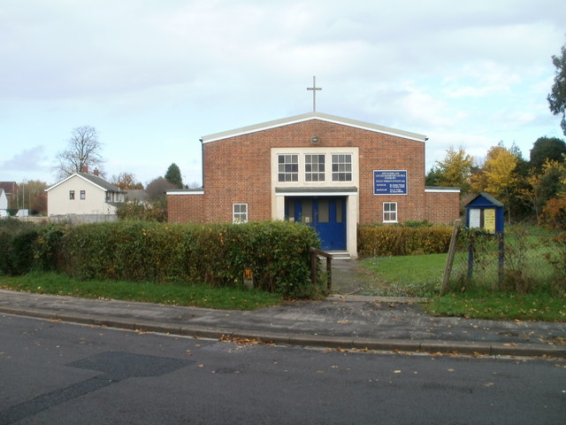
Image: © Jaggery Taken: 6 Nov 2010
Located in Henbury, on Passage Road, about 100 metres west of the junction with Wyck Beck Road. The United Reformed Church began in 1972, an amalgamation of the Congregational and Presbyterian Churches.
Images are licensed for reuse under creativecommons.org/licenses/by-sa/2.0
Image Location
Latitude
51.510981
Longitude
-2.621009