Housing in Blakenhall, Wolverhampton
Introduction
The photograph on this page of Housing in Blakenhall, Wolverhampton by Roger D Kidd as part of the Geograph project.
The Geograph project started in 2005 with the aim of publishing, organising and preserving representative images for every square kilometre of Great Britain, Ireland and the Isle of Man.

There are currently over 7.5m images from over 14,400 individuals and you can help contribute to the project by visiting https://www.geograph.org.uk
Housing in Blakenhall, Wolverhampton
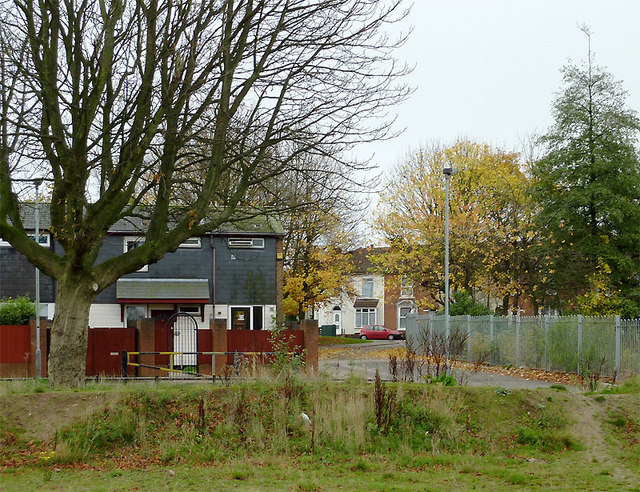
Image: © Roger D Kidd Taken: 5 Nov 2010
Recent housing on the left, with late Victorian terraced housing further away at the end of Haggar Street. Behind the camera is a large derelict area which has been levelled in preparation for an extensive building programme of low rise housing at Blakenhall Gardens. Let's hope the planners match the attractive name with an attractive living area. Nearby, off to the right, Phoenix Rise, the last of six 1960s tower blocks is being slowly demolished. Image
Images are licensed for reuse under creativecommons.org/licenses/by-sa/2.0
Image Location
Latitude
52.57052
Longitude
-2.127626