Public footpath to Rogersceugh
Introduction
The photograph on this page of Public footpath to Rogersceugh by Rose and Trev Clough as part of the Geograph project.
The Geograph project started in 2005 with the aim of publishing, organising and preserving representative images for every square kilometre of Great Britain, Ireland and the Isle of Man.

There are currently over 7.5m images from over 14,400 individuals and you can help contribute to the project by visiting https://www.geograph.org.uk
Public footpath to Rogersceugh
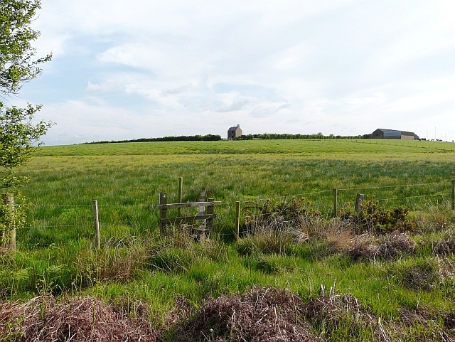
Image: © Rose and Trev Clough Taken: 25 May 2008
Some boards have been placed on the other side of the stile to help the walker over the wet ground.
Images are licensed for reuse under creativecommons.org/licenses/by-sa/2.0
Image Location
Latitude
54.927466
Longitude
-3.220552