Ruined building near Norwood Farm
Introduction
The photograph on this page of Ruined building near Norwood Farm by David Anstiss as part of the Geograph project.
The Geograph project started in 2005 with the aim of publishing, organising and preserving representative images for every square kilometre of Great Britain, Ireland and the Isle of Man.

There are currently over 7.5m images from over 14,400 individuals and you can help contribute to the project by visiting https://www.geograph.org.uk
Ruined building near Norwood Farm
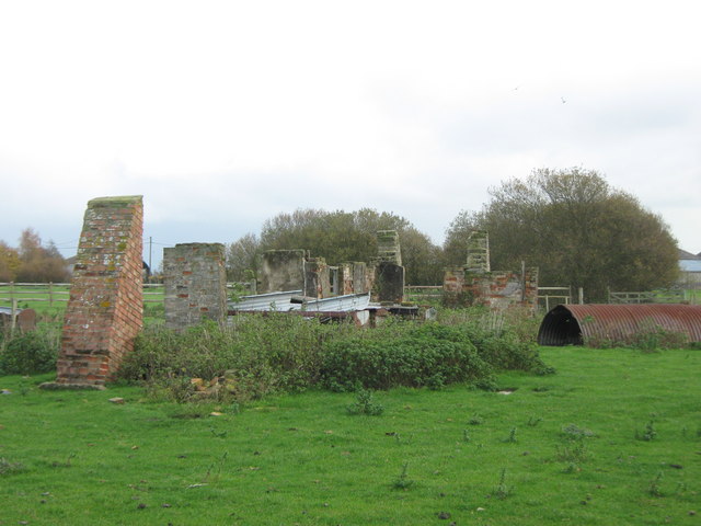
Image: © David Anstiss Taken: 7 Nov 2010
Not much is left of this brick structure beside a footpath from Frostland Lane towards Melon Lane.
Images are licensed for reuse under creativecommons.org/licenses/by-sa/2.0
Image Location


Leaflet Map data © OpenStreetMap
Latitude
51.035756
Longitude
0.918835