Ropers Lane
Introduction
The photograph on this page of Ropers Lane by Nigel Mykura as part of the Geograph project.
The Geograph project started in 2005 with the aim of publishing, organising and preserving representative images for every square kilometre of Great Britain, Ireland and the Isle of Man.

There are currently over 7.5m images from over 14,400 individuals and you can help contribute to the project by visiting https://www.geograph.org.uk
Ropers Lane
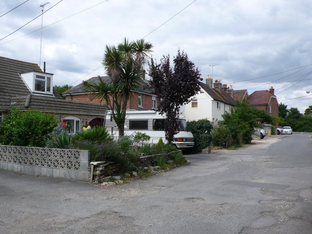
Image: © Nigel Mykura Taken: 29 Jul 2010
This is an unmade up short residential road on the east side of Upton just south of the Poole Rd. This is the view north from close to the edge of the grid square.
Images are licensed for reuse under creativecommons.org/licenses/by-sa/2.0
Image Location
Latitude
50.73697
Longitude
-2.020354