Manor Farm Road
Introduction
The photograph on this page of Manor Farm Road by Evelyn Simak as part of the Geograph project.
The Geograph project started in 2005 with the aim of publishing, organising and preserving representative images for every square kilometre of Great Britain, Ireland and the Isle of Man.

There are currently over 7.5m images from over 14,400 individuals and you can help contribute to the project by visiting https://www.geograph.org.uk
Manor Farm Road
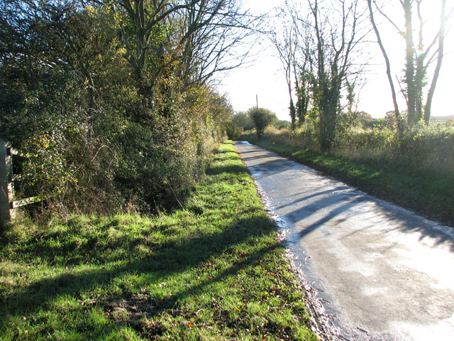
Image: © Evelyn Simak Taken: 7 Nov 2010
The field to the west is called Hanging Hill. The junction of Darrow Green Road and Manor Farm Road, a short distance further to the north, is known as Misery Corner. It is possible that the name has some connection with Hangman's Hill but according to a local tale a pregnant servant girl once committed suicide by hanging at Ivy Farm, one of the houses by the road junction. The name has also been linked to the execution here, during the Civil War, of a Roundhead soldier.
Images are licensed for reuse under creativecommons.org/licenses/by-sa/2.0
Image Location
Latitude
52.457096
Longitude
1.338222