Lomond Road, Filton
Introduction
The photograph on this page of Lomond Road, Filton by Jaggery as part of the Geograph project.
The Geograph project started in 2005 with the aim of publishing, organising and preserving representative images for every square kilometre of Great Britain, Ireland and the Isle of Man.

There are currently over 7.5m images from over 14,400 individuals and you can help contribute to the project by visiting https://www.geograph.org.uk
Lomond Road, Filton
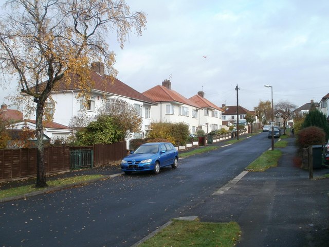
Image: © Jaggery Taken: 6 Nov 2010
Houses viewed from the corner of Braemar Avenue. A red helicopter, just about visible above the third pair of semis, was noisily disturbing an otherwise quiet Saturday morning in late autumn.
Images are licensed for reuse under creativecommons.org/licenses/by-sa/2.0
Image Location
Latitude
51.503081
Longitude
-2.583442