View to Langley Park Farm
Introduction
The photograph on this page of View to Langley Park Farm by Glyn Baker as part of the Geograph project.
The Geograph project started in 2005 with the aim of publishing, organising and preserving representative images for every square kilometre of Great Britain, Ireland and the Isle of Man.

There are currently over 7.5m images from over 14,400 individuals and you can help contribute to the project by visiting https://www.geograph.org.uk
View to Langley Park Farm
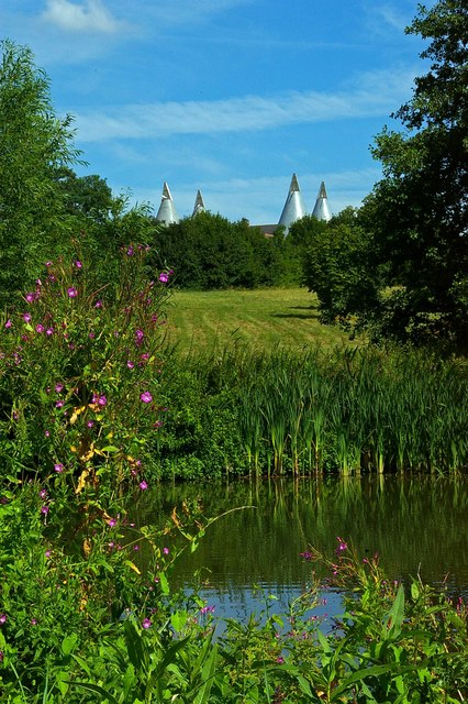
Image: © Glyn Baker Taken: 5 Aug 2006
This is the view from the footpath from St Mary’s Langley to Mount Pleasant Farm looking north across the pond towards Langley Park Farm.
Images are licensed for reuse under creativecommons.org/licenses/by-sa/2.0
Image Location
Latitude
51.233623
Longitude
0.574619