Fields towards Yewtree Farm
Introduction
The photograph on this page of Fields towards Yewtree Farm by Andrew Hill as part of the Geograph project.
The Geograph project started in 2005 with the aim of publishing, organising and preserving representative images for every square kilometre of Great Britain, Ireland and the Isle of Man.

There are currently over 7.5m images from over 14,400 individuals and you can help contribute to the project by visiting https://www.geograph.org.uk
Fields towards Yewtree Farm
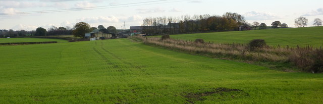
Image: © Andrew Hill Taken: 6 Nov 2010
Seen from Rock Lane, a dead end lane becoming a track west from Sutton Scarsdale.
Images are licensed for reuse under creativecommons.org/licenses/by-sa/2.0
Image Location
Latitude
53.212145
Longitude
-1.349341