Roseberry Street
Introduction
The photograph on this page of Roseberry Street by Martin Addison as part of the Geograph project.
The Geograph project started in 2005 with the aim of publishing, organising and preserving representative images for every square kilometre of Great Britain, Ireland and the Isle of Man.

There are currently over 7.5m images from over 14,400 individuals and you can help contribute to the project by visiting https://www.geograph.org.uk
Roseberry Street
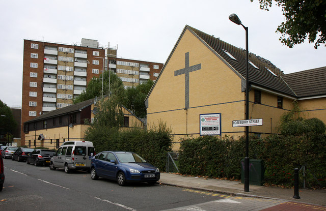
Image: © Martin Addison Taken: 22 Oct 2010
Seen from the junction with Galleywall Road. On the right is The Manor Methodist Church, home of the 16th Bermondsey Scouts.
Images are licensed for reuse under creativecommons.org/licenses/by-sa/2.0
Image Location


Leaflet Map data © OpenStreetMap
Latitude
51.491289
Longitude
-0.060594