Houses on the NW section of Station Road, Filton
Introduction
The photograph on this page of Houses on the NW section of Station Road, Filton by Jaggery as part of the Geograph project.
The Geograph project started in 2005 with the aim of publishing, organising and preserving representative images for every square kilometre of Great Britain, Ireland and the Isle of Man.

There are currently over 7.5m images from over 14,400 individuals and you can help contribute to the project by visiting https://www.geograph.org.uk
Houses on the NW section of Station Road, Filton
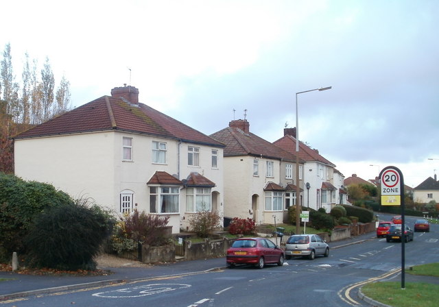
Image: © Jaggery Taken: 6 Nov 2010
For several hundred metres, the A4174 has been named Station Road. At the point where the A4174 is renamed Link Road, opposite Shellard Road, Station Road turns through about 120 degrees. These houses are viewed from near that sharp turning.
Images are licensed for reuse under creativecommons.org/licenses/by-sa/2.0
Image Location
Latitude
51.509432
Longitude
-2.571996