Hen Heol / Old Road, Cynghordy
Introduction
The photograph on this page of Hen Heol / Old Road, Cynghordy by Alan Richards as part of the Geograph project.
The Geograph project started in 2005 with the aim of publishing, organising and preserving representative images for every square kilometre of Great Britain, Ireland and the Isle of Man.

There are currently over 7.5m images from over 14,400 individuals and you can help contribute to the project by visiting https://www.geograph.org.uk
Hen Heol / Old Road, Cynghordy
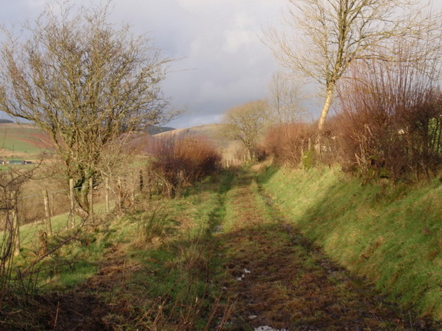
Image: © Alan Richards Taken: 3 Dec 2009
Hen heol werdd yn arwain at Ffarm Bwlch Cynnant Old green road leading to Bwlch Cynnant Farm
Images are licensed for reuse under creativecommons.org/licenses/by-sa/2.0
Image Location
Latitude
52.066055
Longitude
-3.75053