Rough Grass and Rugby
Introduction
The photograph on this page of Rough Grass and Rugby by Michael Patterson as part of the Geograph project.
The Geograph project started in 2005 with the aim of publishing, organising and preserving representative images for every square kilometre of Great Britain, Ireland and the Isle of Man.

There are currently over 7.5m images from over 14,400 individuals and you can help contribute to the project by visiting https://www.geograph.org.uk
Rough Grass and Rugby
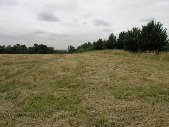
Image: © Michael Patterson Taken: 4 Aug 2006
The rugby posts are growing out of a nearby school playing field. Given the Barratt development across the road from here it will be interesting to revisit this site in a year's time and see if it looks like this then.
Images are licensed for reuse under creativecommons.org/licenses/by-sa/2.0
Image Location


Leaflet Map data © OpenStreetMap
Latitude
53.409483
Longitude
-0.770913