Pontroed Llanfihangel ar Arth Footbridge
Introduction
The photograph on this page of Pontroed Llanfihangel ar Arth Footbridge by Alan Richards as part of the Geograph project.
The Geograph project started in 2005 with the aim of publishing, organising and preserving representative images for every square kilometre of Great Britain, Ireland and the Isle of Man.

There are currently over 7.5m images from over 14,400 individuals and you can help contribute to the project by visiting https://www.geograph.org.uk
Pontroed Llanfihangel ar Arth Footbridge
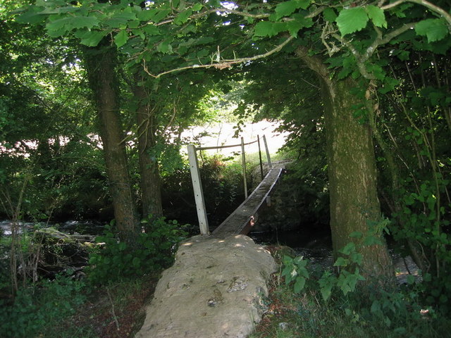
Image: © Alan Richards Taken: 16 Aug 2005
Pontroed wedi'i addasu o drawst metel dros Afon Tyweli, Llanfihangel ar Arth. A metal girder used as a footbridge over the Tyweli stream, Llanfihangel ar Arth
Images are licensed for reuse under creativecommons.org/licenses/by-sa/2.0
Image Location
Latitude
52.020614
Longitude
-4.278118