Wiltshire Cycleway
Introduction
The photograph on this page of Wiltshire Cycleway by Phil Williams as part of the Geograph project.
The Geograph project started in 2005 with the aim of publishing, organising and preserving representative images for every square kilometre of Great Britain, Ireland and the Isle of Man.

There are currently over 7.5m images from over 14,400 individuals and you can help contribute to the project by visiting https://www.geograph.org.uk
Wiltshire Cycleway
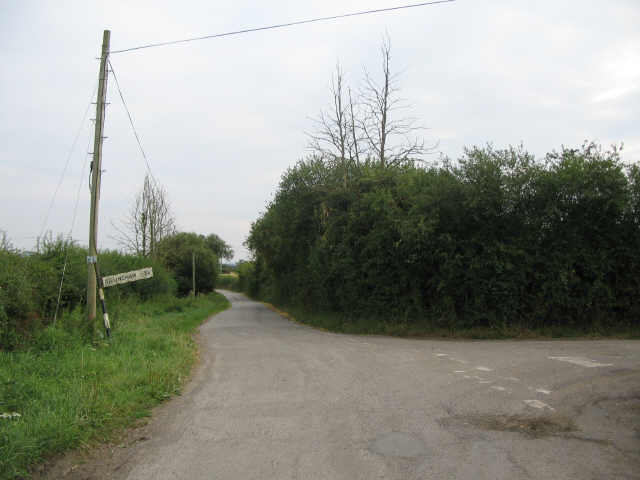
Image: © Phil Williams Taken: 4 Aug 2006
A view looking south along Woodlands Road towards the junction at which the Wiltshire Cycleway diverges to the right, as indicated by the small blue sign on the telegraph pole.
Images are licensed for reuse under creativecommons.org/licenses/by-sa/2.0
Image Location


Leaflet Map data © OpenStreetMap
Latitude
51.073508
Longitude
-2.27257