Whitecliff
Introduction
The photograph on this page of Whitecliff by Jonathan Billinger as part of the Geograph project.
The Geograph project started in 2005 with the aim of publishing, organising and preserving representative images for every square kilometre of Great Britain, Ireland and the Isle of Man.

There are currently over 7.5m images from over 14,400 individuals and you can help contribute to the project by visiting https://www.geograph.org.uk
Whitecliff
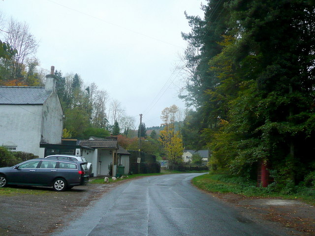
Image: © Jonathan Billinger Taken: 29 Oct 2010
An ex-mining and quarrying community to the south-west of Coleford. Note the half-hidden red phone box to the right.
Images are licensed for reuse under creativecommons.org/licenses/by-sa/2.0
Image Location
Latitude
51.786348
Longitude
-2.628119