Lomond Industrial Estate
Introduction
The photograph on this page of Lomond Industrial Estate by Lairich Rig as part of the Geograph project.
The Geograph project started in 2005 with the aim of publishing, organising and preserving representative images for every square kilometre of Great Britain, Ireland and the Isle of Man.

There are currently over 7.5m images from over 14,400 individuals and you can help contribute to the project by visiting https://www.geograph.org.uk
Lomond Industrial Estate
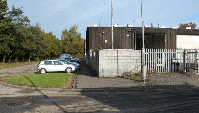
Image: © Lairich Rig Taken: 25 Oct 2010
The estate also includes Image and Image, but the present photograph shows some of the buildings at its northern end. Strone Road, lined by trees, is visible on the left. The other road, in the foreground, leads to a path on the other side of the buildings: Image
Images are licensed for reuse under creativecommons.org/licenses/by-sa/2.0
Image Location
Latitude
55.99458
Longitude
-4.574588