Dowsett's Farm from Colliers End
Introduction
The photograph on this page of Dowsett's Farm from Colliers End by Martin Addison as part of the Geograph project.
The Geograph project started in 2005 with the aim of publishing, organising and preserving representative images for every square kilometre of Great Britain, Ireland and the Isle of Man.

There are currently over 7.5m images from over 14,400 individuals and you can help contribute to the project by visiting https://www.geograph.org.uk
Dowsett's Farm from Colliers End
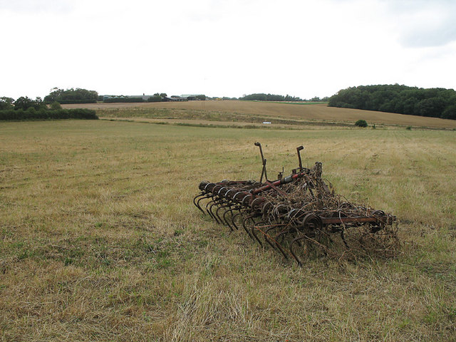
Image: © Martin Addison Taken: 4 Aug 2006
View across farmland. Foreground farm equipment draws the eye towards the farm in the distance. Between, in a cutting, runs the new A10, bypassing wadesmill, High Cross and Colliers End.
Images are licensed for reuse under creativecommons.org/licenses/by-sa/2.0
Image Location
Latitude
51.868911
Longitude
-0.008657