Folly Lane
Introduction
The photograph on this page of Folly Lane by Nigel Mykura as part of the Geograph project.
The Geograph project started in 2005 with the aim of publishing, organising and preserving representative images for every square kilometre of Great Britain, Ireland and the Isle of Man.

There are currently over 7.5m images from over 14,400 individuals and you can help contribute to the project by visiting https://www.geograph.org.uk
Folly Lane
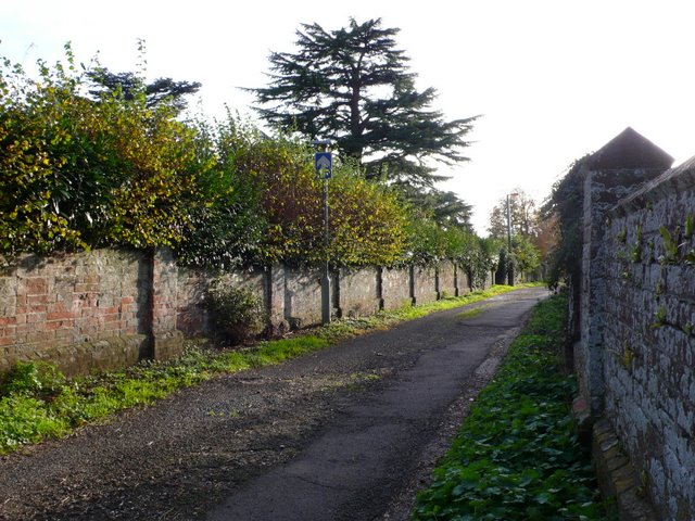
Image: © Nigel Mykura Taken: 30 Oct 2010
Folly lane runs southwest from the Devizes road almost parallel with Roman Rd and joins Roman Rd half way along its length at the junction with St Gregory's Avenue. The lane has a cemetery on both sides of it along its length.
Images are licensed for reuse under creativecommons.org/licenses/by-sa/2.0
Image Location
Latitude
51.079619
Longitude
-1.816798