The top of Milltown Lane
Introduction
The photograph on this page of The top of Milltown Lane by Anthony Vosper as part of the Geograph project.
The Geograph project started in 2005 with the aim of publishing, organising and preserving representative images for every square kilometre of Great Britain, Ireland and the Isle of Man.

There are currently over 7.5m images from over 14,400 individuals and you can help contribute to the project by visiting https://www.geograph.org.uk
The top of Milltown Lane
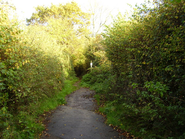
Image: © Anthony Vosper Taken: 1 Nov 2010
The tarmac runs out and the lane turns into a steep uphill footpath. This is close to the springline on this hill, the area can be quite wet at times.
Images are licensed for reuse under creativecommons.org/licenses/by-sa/2.0
Image Location
Latitude
50.690047
Longitude
-3.226782