Greenmeadow Avenue, Newport
Introduction
The photograph on this page of Greenmeadow Avenue, Newport by Jaggery as part of the Geograph project.
The Geograph project started in 2005 with the aim of publishing, organising and preserving representative images for every square kilometre of Great Britain, Ireland and the Isle of Man.

There are currently over 7.5m images from over 14,400 individuals and you can help contribute to the project by visiting https://www.geograph.org.uk
Greenmeadow Avenue, Newport
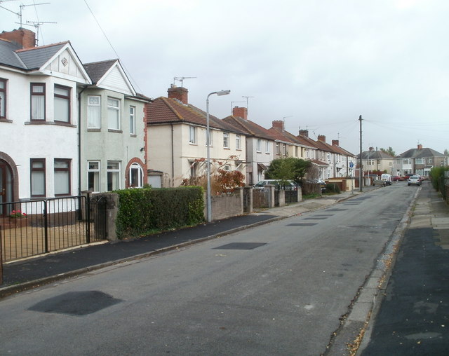
Image: © Jaggery Taken: 2 Nov 2010
Houses on the north side of the avenue, viewed from near the corner of Greenmeadow Road. In the distance is the junction with Moorland Avenue. http://www.geograph.org.uk/photo/2141491
Images are licensed for reuse under creativecommons.org/licenses/by-sa/2.0
Image Location
Latitude
51.58069
Longitude
-2.952451