Railway next to Park Road
Introduction
The photograph on this page of Railway next to Park Road by Peter Randall-Cook as part of the Geograph project.
The Geograph project started in 2005 with the aim of publishing, organising and preserving representative images for every square kilometre of Great Britain, Ireland and the Isle of Man.

There are currently over 7.5m images from over 14,400 individuals and you can help contribute to the project by visiting https://www.geograph.org.uk
Railway next to Park Road
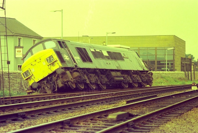
Image: © Peter Randall-Cook Taken: Unknown
Train derailment on the Tuffley Loop line. Now Trier way and retail store (was B&Q). Taken from the railway line!
Images are licensed for reuse under creativecommons.org/licenses/by-sa/2.0
Image Location
Latitude
51.860519
Longitude
-2.23984