Ilford Cemetery
Introduction
The photograph on this page of Ilford Cemetery by Martin Addison as part of the Geograph project.
The Geograph project started in 2005 with the aim of publishing, organising and preserving representative images for every square kilometre of Great Britain, Ireland and the Isle of Man.

There are currently over 7.5m images from over 14,400 individuals and you can help contribute to the project by visiting https://www.geograph.org.uk
Ilford Cemetery
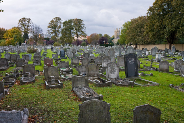
Image: © Martin Addison Taken: 23 Oct 2010
Also known as Buckingham Road Cemetery, this view is taken from the side road leading to Cricklefield Stadium. The church in the distance is St. Mary and is located on the A118 High Road on the corner of Buckingham Road.
Images are licensed for reuse under creativecommons.org/licenses/by-sa/2.0
Image Location
Latitude
51.560977
Longitude
0.091001