Preston Lane
Introduction
The photograph on this page of Preston Lane by Richard Rogerson as part of the Geograph project.
The Geograph project started in 2005 with the aim of publishing, organising and preserving representative images for every square kilometre of Great Britain, Ireland and the Isle of Man.

There are currently over 7.5m images from over 14,400 individuals and you can help contribute to the project by visiting https://www.geograph.org.uk
Preston Lane
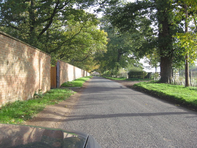
Image: © Richard Rogerson Taken: 30 Oct 2010
View of the lane as it approaches the A3400 (Shipston on Stour to Stratford upon Avon). The wall on the LHS is part of the Alscot Park Estate.
Images are licensed for reuse under creativecommons.org/licenses/by-sa/2.0
Image Location
Latitude
52.148688
Longitude
-1.689833