The view from Chapel Knapp
Introduction
The photograph on this page of The view from Chapel Knapp by Phil Williams as part of the Geograph project.
The Geograph project started in 2005 with the aim of publishing, organising and preserving representative images for every square kilometre of Great Britain, Ireland and the Isle of Man.

There are currently over 7.5m images from over 14,400 individuals and you can help contribute to the project by visiting https://www.geograph.org.uk
The view from Chapel Knapp
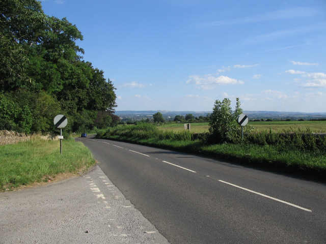
Image: © Phil Williams Taken: 3 Aug 2006
A view looking to the southeast along the B3353 from the entrance to Gastard house at Chapel Knapp. Salisbury Plain is visible on the horizon.
Images are licensed for reuse under creativecommons.org/licenses/by-sa/2.0
Image Location


Leaflet Map data © OpenStreetMap
Latitude
51.406407
Longitude
-2.166721