Ardrossan from the air
Introduction
The photograph on this page of Ardrossan from the air by Thomas Nugent as part of the Geograph project.
The Geograph project started in 2005 with the aim of publishing, organising and preserving representative images for every square kilometre of Great Britain, Ireland and the Isle of Man.

There are currently over 7.5m images from over 14,400 individuals and you can help contribute to the project by visiting https://www.geograph.org.uk
Ardrossan from the air
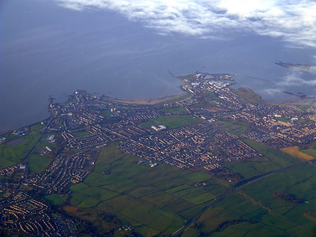
Image: © Thomas Nugent Taken: 31 Oct 2010
The recently realigned A78 road is to the lower right, Ardrossan Harbour and ferry terminal is to the right, Saltcoats Harbour to the left, with South Beach in between. Viewed from a Stansted bound flight from Glasgow.
Images are licensed for reuse under creativecommons.org/licenses/by-sa/2.0
Image Location
Latitude
55.653955
Longitude
-4.759165