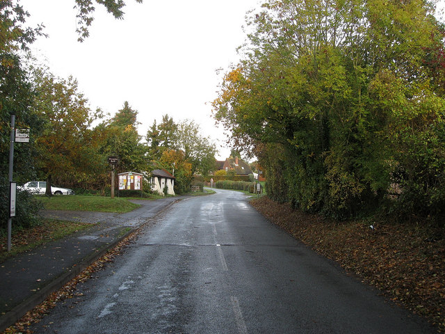
Reynolds Lane
Introduction
The photograph on this page of Reynolds Lane by Simon Carey as part of the Geograph project.
The Geograph project started in 2005 with the aim of publishing, organising and preserving representative images for every square kilometre of Great Britain, Ireland and the Isle of Man.
There are currently over 7.5m images from over 14,400 individuals and you can help contribute to the project by visiting https://www.geograph.org.uk

Image: © Simon Carey Taken: 30 Oct 2010
Connecting Slindon with the A29 - though the lane is much older, being an ancient route southwards to Slindon Common, then on to Walberton Common and eventually Walberton itself. The white building in the distance is Slindon Forge which only closed in 2008. It is currently going through the planning process to turn it into a community shop, café and information centre.

