Blackburn Street/Church Street Junction (2010)
Introduction
The photograph on this page of Blackburn Street/Church Street Junction (2010) by David Dixon as part of the Geograph project.
The Geograph project started in 2005 with the aim of publishing, organising and preserving representative images for every square kilometre of Great Britain, Ireland and the Isle of Man.

There are currently over 7.5m images from over 14,400 individuals and you can help contribute to the project by visiting https://www.geograph.org.uk
Blackburn Street/Church Street Junction (2010)
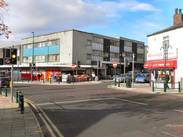
Image: © David Dixon Taken: 30 Oct 2010
Since Image] was taken, the town centre bypass (Pilkington Way) was opened and the bottom end of Blackburn Street was pedestrianised. It has recently (2010) been partially reopened to southbound traffic as far as the piazza at Church Street.
Images are licensed for reuse under creativecommons.org/licenses/by-sa/2.0
Image Location
Latitude
53.559293
Longitude
-2.325663