Mill Road
Introduction
The photograph on this page of Mill Road by Simon Carey as part of the Geograph project.
The Geograph project started in 2005 with the aim of publishing, organising and preserving representative images for every square kilometre of Great Britain, Ireland and the Isle of Man.

There are currently over 7.5m images from over 14,400 individuals and you can help contribute to the project by visiting https://www.geograph.org.uk
Mill Road
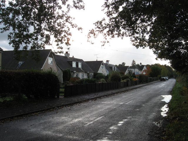
Image: © Simon Carey Taken: 30 Oct 2010
Minor road linking the A29 to the A27. The road is straight with one kink due to the fact that it once ran through two commons that were inclosed at different periods, Walberton Common to the south went in 1769 whilst Slindon Common in 1870. The houses in view lie between two roads, Bridle Road to the north and Sunnybox Lane to the south that were built between the wars.
Images are licensed for reuse under creativecommons.org/licenses/by-sa/2.0
Image Location
Latitude
50.859271
Longitude
-0.625314