Mill Lane
Introduction
The photograph on this page of Mill Lane by Simon Carey as part of the Geograph project.
The Geograph project started in 2005 with the aim of publishing, organising and preserving representative images for every square kilometre of Great Britain, Ireland and the Isle of Man.

There are currently over 7.5m images from over 14,400 individuals and you can help contribute to the project by visiting https://www.geograph.org.uk
Mill Lane
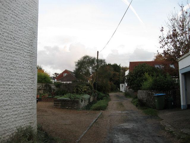
Image: © Simon Carey Taken: 30 Oct 2010
A narrow lane that once led to Short's windmill that operated beyond the barn to the right from the 1820s to closure and demolition in 1896.
Images are licensed for reuse under creativecommons.org/licenses/by-sa/2.0
Image Location
Latitude
50.846717
Longitude
-0.628382