Caldon Mill lade
Introduction
The photograph on this page of Caldon Mill lade by Ian Calderwood as part of the Geograph project.
The Geograph project started in 2005 with the aim of publishing, organising and preserving representative images for every square kilometre of Great Britain, Ireland and the Isle of Man.

There are currently over 7.5m images from over 14,400 individuals and you can help contribute to the project by visiting https://www.geograph.org.uk
Caldon Mill lade
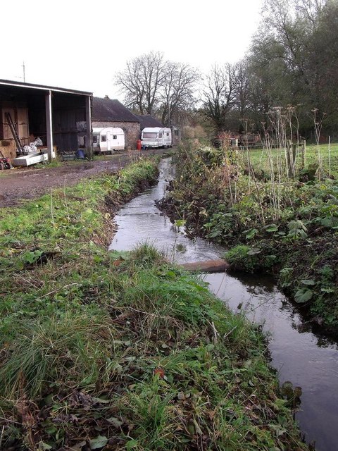
Image: © Ian Calderwood Taken: 30 Oct 2010
The mill lade used to channel water from the River Hamps into the mill pool at Caldon Mill.
Images are licensed for reuse under creativecommons.org/licenses/by-sa/2.0
Image Location


Leaflet Map data © OpenStreetMap
Latitude
53.048825
Longitude
-1.883008