The living area in the converted "tin church", once St. Saviour's
Introduction
The photograph on this page of The living area in the converted "tin church", once St. Saviour's by pam fray as part of the Geograph project.
The Geograph project started in 2005 with the aim of publishing, organising and preserving representative images for every square kilometre of Great Britain, Ireland and the Isle of Man.

There are currently over 7.5m images from over 14,400 individuals and you can help contribute to the project by visiting https://www.geograph.org.uk
The living area in the converted "tin church", once St. Saviour's
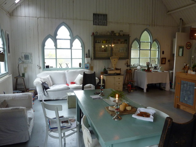
Image: © pam fray Taken: 31 Oct 2010
The building has been open to the public to display exhibits of art and craft as part of the Canterbury Festival. This room leads off the main studio where the work is on show.
Images are licensed for reuse under creativecommons.org/licenses/by-sa/2.0
Image Location
Latitude
51.314417
Longitude
0.896597