Blairadam Forest and Benarty Hill
Introduction
The photograph on this page of Blairadam Forest and Benarty Hill by June Hodge as part of the Geograph project.
The Geograph project started in 2005 with the aim of publishing, organising and preserving representative images for every square kilometre of Great Britain, Ireland and the Isle of Man.

There are currently over 7.5m images from over 14,400 individuals and you can help contribute to the project by visiting https://www.geograph.org.uk
Blairadam Forest and Benarty Hill
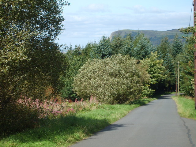
Image: © June Hodge Taken: 24 May 2009
Coming down into Blairadam Forest from the Kelty/Lathalmond Road. Benarty Hill can be seen to the north over the top of the trees.
Images are licensed for reuse under creativecommons.org/licenses/by-sa/2.0
Image Location
Latitude
56.130159
Longitude
-3.407047