Permissive Path
Introduction
The photograph on this page of Permissive Path by Dennis simpson as part of the Geograph project.
The Geograph project started in 2005 with the aim of publishing, organising and preserving representative images for every square kilometre of Great Britain, Ireland and the Isle of Man.

There are currently over 7.5m images from over 14,400 individuals and you can help contribute to the project by visiting https://www.geograph.org.uk
Permissive Path
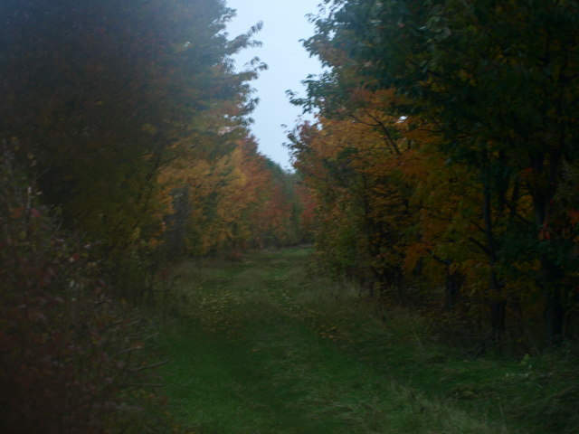
Image: © Dennis simpson Taken: 31 Oct 2010
runs parallel with the slip road from the A6 into Barton le Clay
Images are licensed for reuse under creativecommons.org/licenses/by-sa/2.0
Image Location
Latitude
51.956673
Longitude
-0.437599