Queen Street, Blaenavon
Introduction
The photograph on this page of Queen Street, Blaenavon by Jaggery as part of the Geograph project.
The Geograph project started in 2005 with the aim of publishing, organising and preserving representative images for every square kilometre of Great Britain, Ireland and the Isle of Man.

There are currently over 7.5m images from over 14,400 individuals and you can help contribute to the project by visiting https://www.geograph.org.uk
Queen Street, Blaenavon
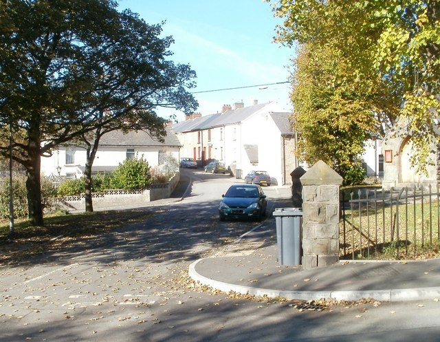
Image: © Jaggery Taken: 25 Oct 2010
Confusingly, three maps give this street three different names - the western end of Llanover Road, Bryn Terrace or Queen Street. I've used the latter, the one shown on a large-scale Ordnance Survey map. What is certain is that St Paul's Church http://www.geograph.org.uk/photo/2135913 is at the right edge of the photo.
Images are licensed for reuse under creativecommons.org/licenses/by-sa/2.0
Image Location
Latitude
51.773793
Longitude
-3.081158