Railway, Aqueduct and Bridge
Introduction
The photograph on this page of Railway, Aqueduct and Bridge by David Dixon as part of the Geograph project.
The Geograph project started in 2005 with the aim of publishing, organising and preserving representative images for every square kilometre of Great Britain, Ireland and the Isle of Man.

There are currently over 7.5m images from over 14,400 individuals and you can help contribute to the project by visiting https://www.geograph.org.uk
Railway, Aqueduct and Bridge
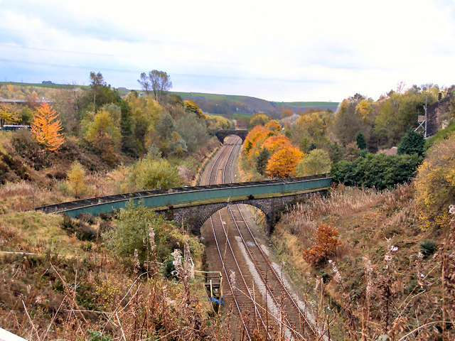
Image: © David Dixon Taken: 29 Oct 2010
Looking south from the bridge near Rock Nook, the green structure in the foreground is Image], the bridge in the distance carries a path from Reddyshore Lane over the railway, to the Rochdale Canal. (The bridge is in Image).
Images are licensed for reuse under creativecommons.org/licenses/by-sa/2.0
Image Location
Latitude
53.658624
Longitude
-2.08299