Pond near entrance to Blaenavon Community Woodland
Introduction
The photograph on this page of Pond near entrance to Blaenavon Community Woodland by Jaggery as part of the Geograph project.
The Geograph project started in 2005 with the aim of publishing, organising and preserving representative images for every square kilometre of Great Britain, Ireland and the Isle of Man.

There are currently over 7.5m images from over 14,400 individuals and you can help contribute to the project by visiting https://www.geograph.org.uk
Pond near entrance to Blaenavon Community Woodland
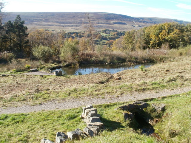
Image: © Jaggery Taken: 25 Oct 2010
The pond is a few metres from the cattle grid http://www.geograph.org.uk/photo/2135404 at the entrance to the woodland.
Images are licensed for reuse under creativecommons.org/licenses/by-sa/2.0
Image Location
Latitude
51.768505
Longitude
-3.069438