Crockenhill War Memorial
Introduction
The photograph on this page of Crockenhill War Memorial by Robin Webster as part of the Geograph project.
The Geograph project started in 2005 with the aim of publishing, organising and preserving representative images for every square kilometre of Great Britain, Ireland and the Isle of Man.

There are currently over 7.5m images from over 14,400 individuals and you can help contribute to the project by visiting https://www.geograph.org.uk
Crockenhill War Memorial
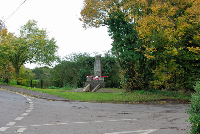
Image: © Robin Webster Taken: 29 Oct 2010
On the corner of Green Court Road and Stones Cross Road. This spot, rather remote from the village centre, is perhaps because the land behind the memorial was given as a memorial recreation ground.
Images are licensed for reuse under creativecommons.org/licenses/by-sa/2.0
Image Location


Leaflet Map data © OpenStreetMap
Latitude
51.389272
Longitude
0.16262