Farm Track?
Introduction
The photograph on this page of Farm Track? by Michael Patterson as part of the Geograph project.
The Geograph project started in 2005 with the aim of publishing, organising and preserving representative images for every square kilometre of Great Britain, Ireland and the Isle of Man.

There are currently over 7.5m images from over 14,400 individuals and you can help contribute to the project by visiting https://www.geograph.org.uk
Farm Track?
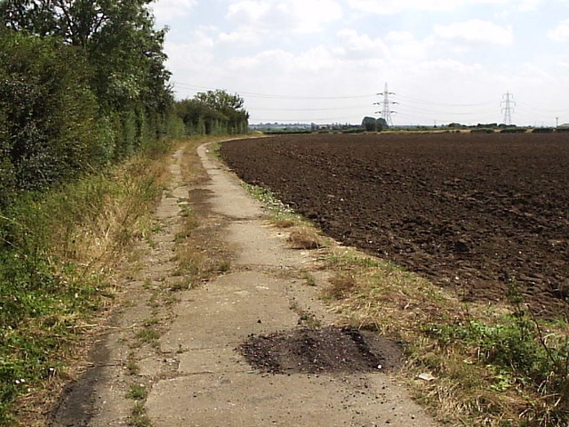
Image: © Michael Patterson Taken: 28 Jul 2006
This farm track appears as if it might once have been a road that has since fallen into disrepair.
Images are licensed for reuse under creativecommons.org/licenses/by-sa/2.0
Image Location
Latitude
53.041724
Longitude
-0.762007