High Level Crossing
Introduction
The photograph on this page of High Level Crossing by Michael Patterson as part of the Geograph project.
The Geograph project started in 2005 with the aim of publishing, organising and preserving representative images for every square kilometre of Great Britain, Ireland and the Isle of Man.

There are currently over 7.5m images from over 14,400 individuals and you can help contribute to the project by visiting https://www.geograph.org.uk
High Level Crossing
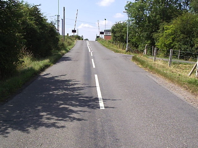
Image: © Michael Patterson Taken: 28 Jul 2006
The east coast mainline crosses this village road in Claypole. The former railway station was just to the left (south) of the crossing.
Images are licensed for reuse under creativecommons.org/licenses/by-sa/2.0
Image Location
Latitude
53.029632
Longitude
-0.723583