Track to Broadside Park Farm
Introduction
The photograph on this page of Track to Broadside Park Farm by Evelyn Simak as part of the Geograph project.
The Geograph project started in 2005 with the aim of publishing, organising and preserving representative images for every square kilometre of Great Britain, Ireland and the Isle of Man.

There are currently over 7.5m images from over 14,400 individuals and you can help contribute to the project by visiting https://www.geograph.org.uk
Track to Broadside Park Farm
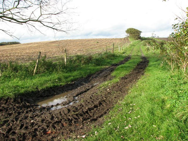
Image: © Evelyn Simak Taken: 27 Oct 2010
This view was taken from a public footpath that turns off Lowestoft Road in Reydon, leading to the beach by the end of the sea wall north of Southwold, about one kilometre further to the east. The farm track is private.
Images are licensed for reuse under creativecommons.org/licenses/by-sa/2.0
Image Location
Latitude
52.337864
Longitude
1.679142