Dappled Bridge
Introduction
The photograph on this page of Dappled Bridge by Michael Patterson as part of the Geograph project.
The Geograph project started in 2005 with the aim of publishing, organising and preserving representative images for every square kilometre of Great Britain, Ireland and the Isle of Man.

There are currently over 7.5m images from over 14,400 individuals and you can help contribute to the project by visiting https://www.geograph.org.uk
Dappled Bridge
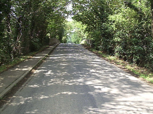
Image: © Michael Patterson Taken: 28 Jul 2006
Just to the left (south) of this disused railway bridge the former Caythorpe station used to stand. The former station area is now industrial units. The line headed north from here to Lincoln.
Images are licensed for reuse under creativecommons.org/licenses/by-sa/2.0
Image Location
Latitude
53.025403
Longitude
-0.588024