Old old Chelmsford Road
Introduction
The photograph on this page of Old old Chelmsford Road by terry joyce as part of the Geograph project.
The Geograph project started in 2005 with the aim of publishing, organising and preserving representative images for every square kilometre of Great Britain, Ireland and the Isle of Man.

There are currently over 7.5m images from over 14,400 individuals and you can help contribute to the project by visiting https://www.geograph.org.uk
Old old Chelmsford Road
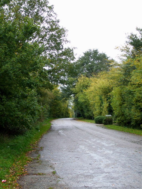
Image: © terry joyce Taken: 27 Oct 2010
This section of road is part of the old Chelmsford Road; saying that the A1245 used to be the A130 Chelmsford Road before the new A130 was built. So this must be the Old old Chelmsford Road. There are several sections of this road between this point and the Carpenters Arms Pub in Image It is possible to walk or cycle these without the need to use the A1245.
Images are licensed for reuse under creativecommons.org/licenses/by-sa/2.0
Image Location
Latitude
51.610649
Longitude
0.573947