Climbing Wall and Canal
Introduction
The photograph on this page of Climbing Wall and Canal by Michael Westley as part of the Geograph project.
The Geograph project started in 2005 with the aim of publishing, organising and preserving representative images for every square kilometre of Great Britain, Ireland and the Isle of Man.

There are currently over 7.5m images from over 14,400 individuals and you can help contribute to the project by visiting https://www.geograph.org.uk
Climbing Wall and Canal
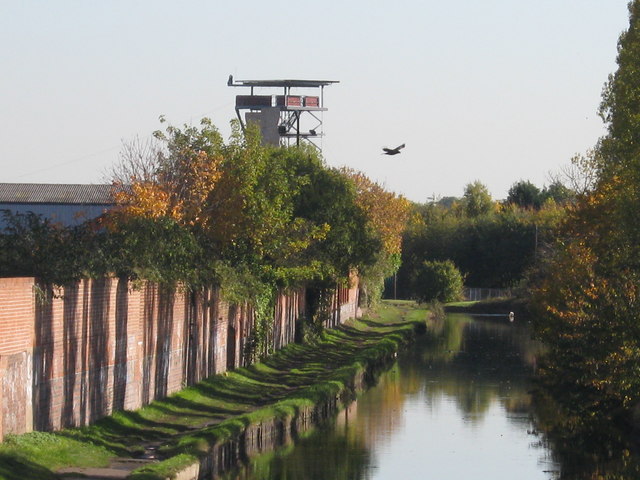
Image: © Michael Westley Taken: 25 Oct 2010
Alongside Grand Union Canal, approaching Tyseley, is the Ackers Trust, in which the scaffolding can be found providing a climbing wall for the more adventuous amongst us.
Images are licensed for reuse under creativecommons.org/licenses/by-sa/2.0
Image Location
Latitude
52.459349
Longitude
-1.854403