Road signs on Grinsell Hill
Introduction
The photograph on this page of Road signs on Grinsell Hill by David Anstiss as part of the Geograph project.
The Geograph project started in 2005 with the aim of publishing, organising and preserving representative images for every square kilometre of Great Britain, Ireland and the Isle of Man.

There are currently over 7.5m images from over 14,400 individuals and you can help contribute to the project by visiting https://www.geograph.org.uk
Road signs on Grinsell Hill
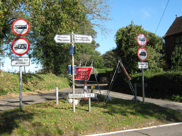
Image: © David Anstiss Taken: 24 Oct 2010
Grinsell Hill heads right to Cliff's End, or heads left towards Minster. Way Hill is in the background, heading towards Way and the A299. The road is currently only for access usage, due to the dual carriage works beside the current A299.
Images are licensed for reuse under creativecommons.org/licenses/by-sa/2.0
Image Location
Latitude
51.33522
Longitude
1.328538