Abergavenny : field with a mountain backdrop
Introduction
The photograph on this page of Abergavenny : field with a mountain backdrop by Jaggery as part of the Geograph project.
The Geograph project started in 2005 with the aim of publishing, organising and preserving representative images for every square kilometre of Great Britain, Ireland and the Isle of Man.

There are currently over 7.5m images from over 14,400 individuals and you can help contribute to the project by visiting https://www.geograph.org.uk
Abergavenny : field with a mountain backdrop
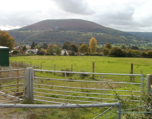
Image: © Jaggery Taken: 22 Oct 2010
Looking from Pentre Lane across a field towards Pentre Road houses. In the background is the Blorenge. Image Its peak is 561 metres (1841 feet) above sea level.
Images are licensed for reuse under creativecommons.org/licenses/by-sa/2.0
Image Location
Latitude
51.830883
Longitude
-3.031732