Hill Top Farm
Introduction
The photograph on this page of Hill Top Farm by Stefan Czapski as part of the Geograph project.
The Geograph project started in 2005 with the aim of publishing, organising and preserving representative images for every square kilometre of Great Britain, Ireland and the Isle of Man.

There are currently over 7.5m images from over 14,400 individuals and you can help contribute to the project by visiting https://www.geograph.org.uk
Hill Top Farm
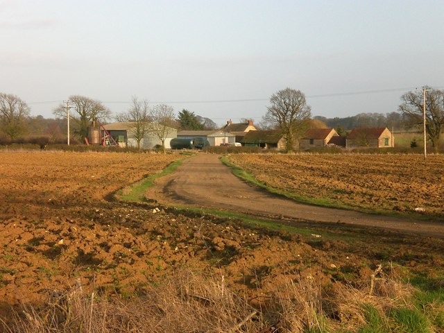
Image: © Stefan Czapski Taken: 14 Mar 2009
Just inside Lincolnshire, on the boundary with Leicestershire. The OS map shows it sitting on the 140m contour. But this is a plateau, with none of the ups and downs of the Belvoir country a little to the north.
Images are licensed for reuse under creativecommons.org/licenses/by-sa/2.0
Image Location
Latitude
52.865076
Longitude
-0.72812